Advanced groundwater survey Sudan
Advanced groundwater survey Sudan

L'invité de Steven K. - Interview
A French interview about Dr. Alain Gachet and his lifelong work. May 7, 2024
More details

Borehole planning for industrial & community farming in KENYA (2022)
Hydroponics Africa, a company established in Letea region (Northern Kenya), called on RTI to plan the drilling of a ...
More details

EU, Ministry of Water Resources and UNESCO celebrating the Official Closing of the EU funded ASHRI-2 Project
Official closing of the "Advanced Survey of Hydrogeological Resources in Iraq" (ASHRI-2) Project - May 2018
More details

Une étude financée par MCC révèle que le Niger est le pays le plus riche en eaux souterraines du Sahel
French article about groundbreaking aquifers discoveries achieved, amongst others, by RTI Exploration. March 24, 2023
More details

Massive underground water reserve discovered in drought-stricken Kenya
The massive aquifer discovered by RTI in 2013 in Turkana County, North Kenya - September 2013
More details

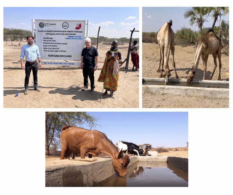
CLUSTER OF PROSPERITY FOR 3,000 PEOPLE & CATTLE IN KADINYANGOLE - KENYA (2022)
Development of the first cluster of prosperity in Turkana county - Kenya, making possible food and water security for...
More details
RTI EXPLORATION is a global leader in the exploration sciences. We provide clients with the expertise and technology they need to discover and develop critical resources, from minerals and metals to groundwater and energy resources. Our team of highly experienced professionals has a proven track record of success in locating and developing some of the world's most important resources. Areas of expertise:
Our technologies can be adopted independently or combined together into an integrated solution, ready for execution project development master plan:
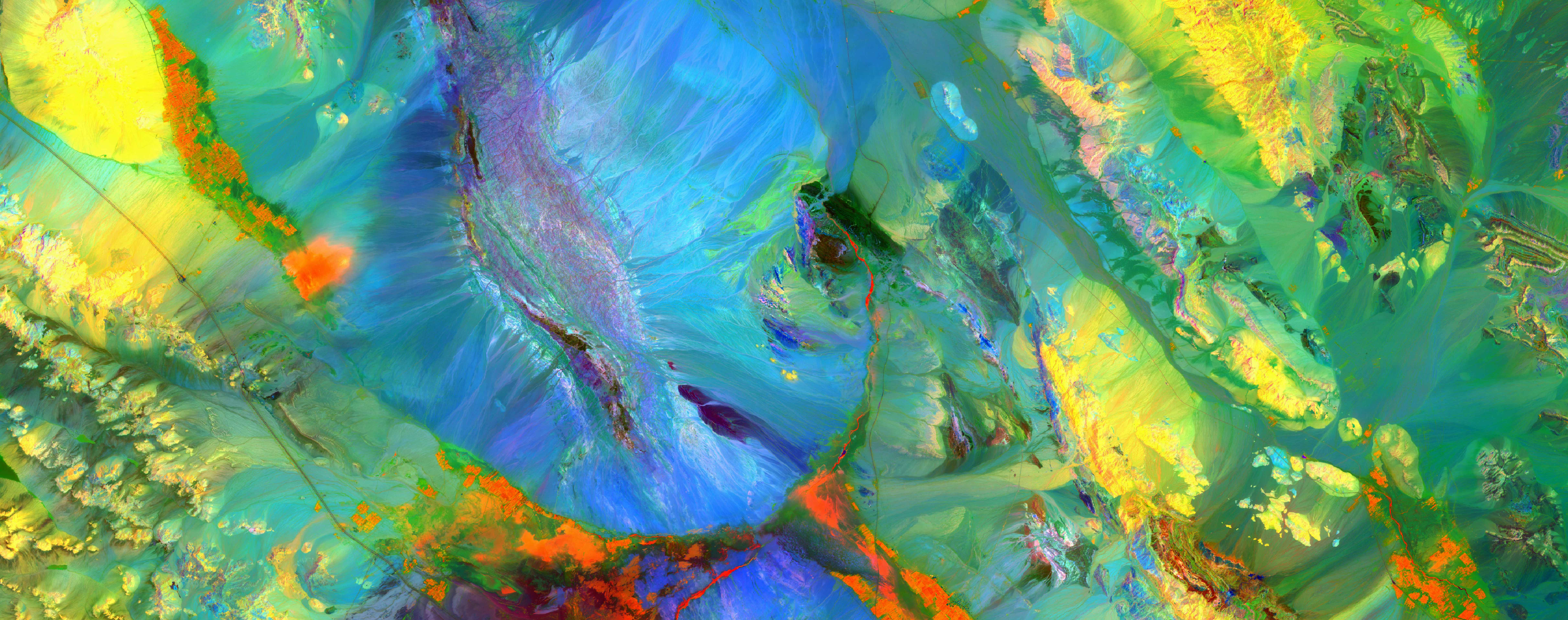
- WATEX™ : Precise Delineation of Groundwater Reservoirs down to 3 Km
- BAMEX™ : Uncovering the Optimal Mineral Potential to be Unlocked
- HEXUB™ : Accurate Delineation of Areas of Major Hydrocarbon Interest
- OSIRIS™ : Environmental Monitoring, Soil and Forest Classifications
Our services in the sector of
Sudan
Contact Us


