Find groundwater company that can map shallow and deep aquifers France - EUROPE
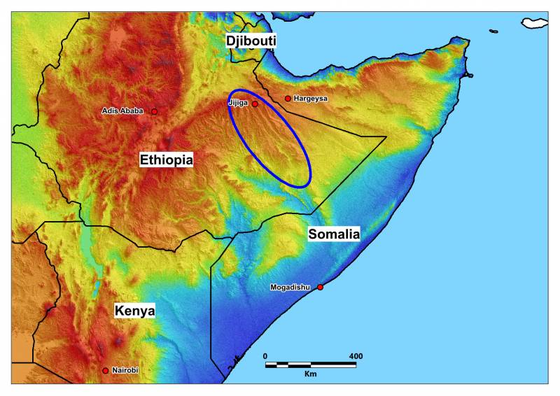
GROUNDWATER EXPLORATION FOR AN INTERNATIONAL INSTITUTION IN ETHIOPIA (2013)
The WATEX™ System approach was used to achieve rapid, large-scale mapping of shallow and deep aquifers in the Ogaden a...
More details
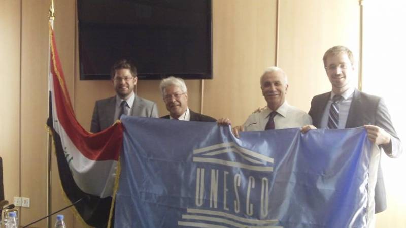
THE WATEX™ SYSTEM FOR POST-WAR RECONSTRUCTION IN IRAQ (2011-2018)
The central Government of Iraq - via the EU and the KRG - engaged RTI to make a national inventory of shallow and...
More details
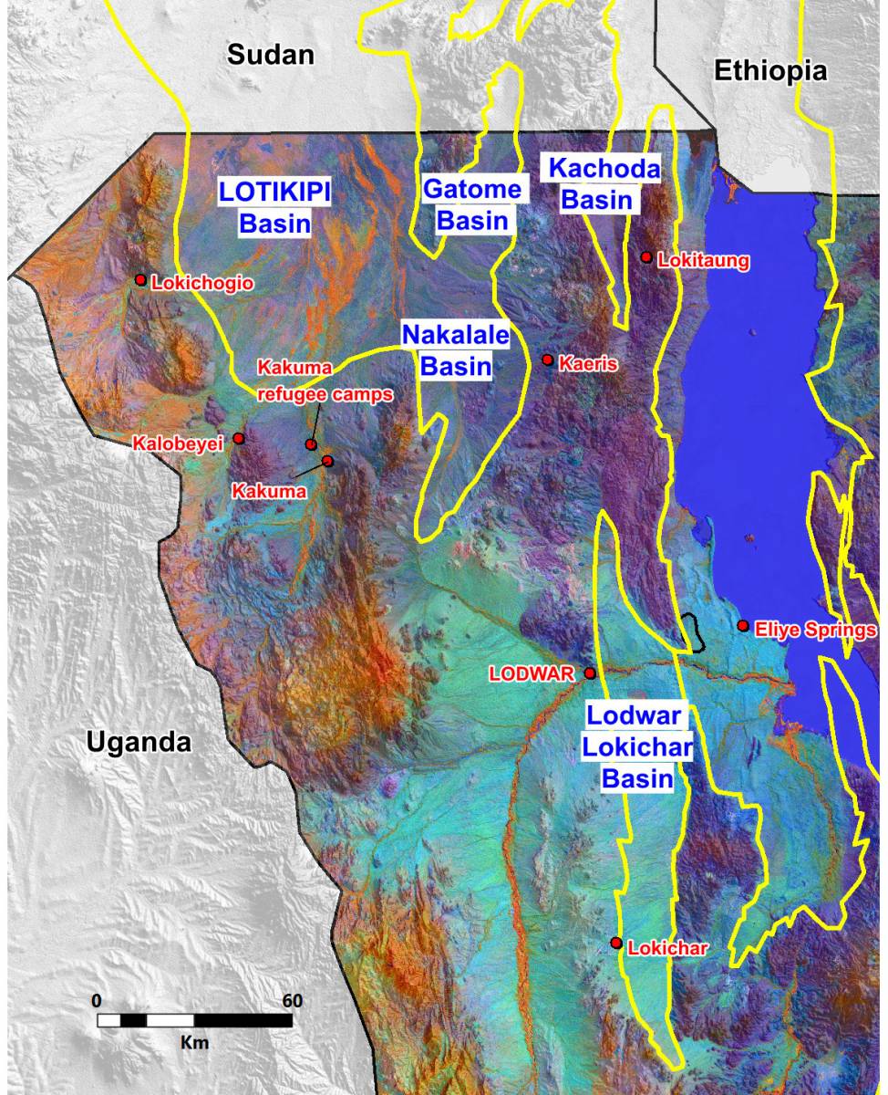
THE WATEX™ GROUNDWATER MAPPING SOLUTION ENABLING THE DISCOVERY OF GIANT GROUNDWATER RESERVES IN KENYA (2013)
Giant shallow and deep groundwater reserves discovery in Turkana, Kenya, during a survey carried by RTI on behalf of...
More details
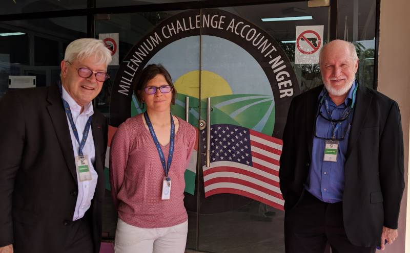
THE WATEX™ SYSTEM USED FOR IRRIGATED AGRICULTURE IN NIGER (2019-2021)
WATEX™ System: A game changing technology for irrigated agriculture in a national masterplan
More details
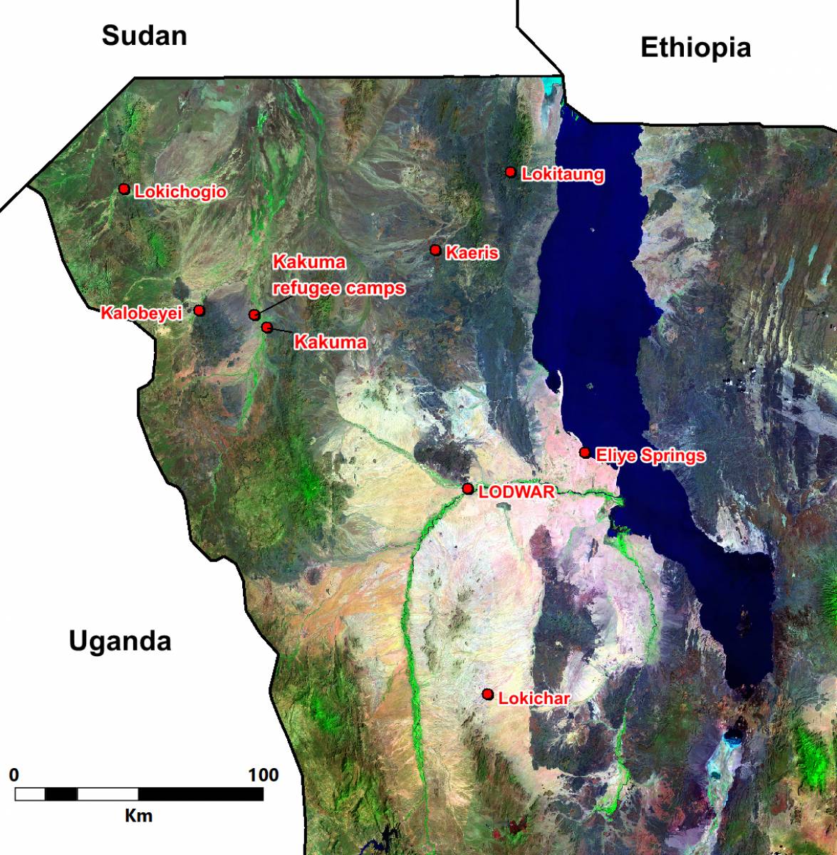
THE WATEX™ SYSTEM, A SOLUTION TO FIND WATER FOR KAKUMA REFUGEE CAMP IN KENYA (2012)
WATEX™ System applied in Kakuma, one of the biggest refugee camp in Africa with over 200 000 displaced individuals.
More details
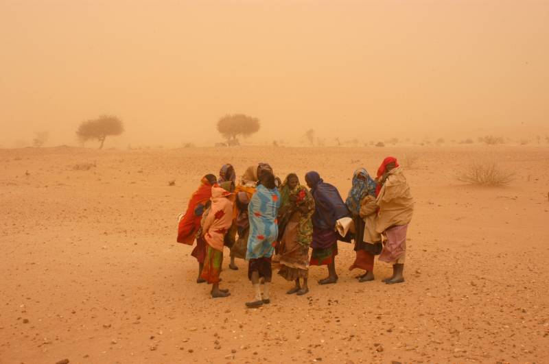
THE WATEX™ SYSTEM, A GROUNDBREAKING TECHNOLOGY FOR INTERNATIONAL AGENCIES TO FIND WATER FOR DARFUR REFUGEES IN CHAD (2005-2008)
Mapping Groundwater Potential with the WATEX™ System to identify new refugee camps supporting 30,000 persons per unit.
More details
Contact Us
