Optimal drilling targets Tanzania
Optimal drilling targets Tanzania

Mapping Water Potential: The Use of WATEX to Support UNHCR Refugee Camp Operations in Eastern Chad
An article about the use of the WATEX™ System to find groundwater for the Sudanese refugees in Chad - April 2006
More details

"Mapear los acuíferos es la base para elaborar un plan estratégico"
A Spanish article about the great importance of mapping groundwater resources - December 2021
More details

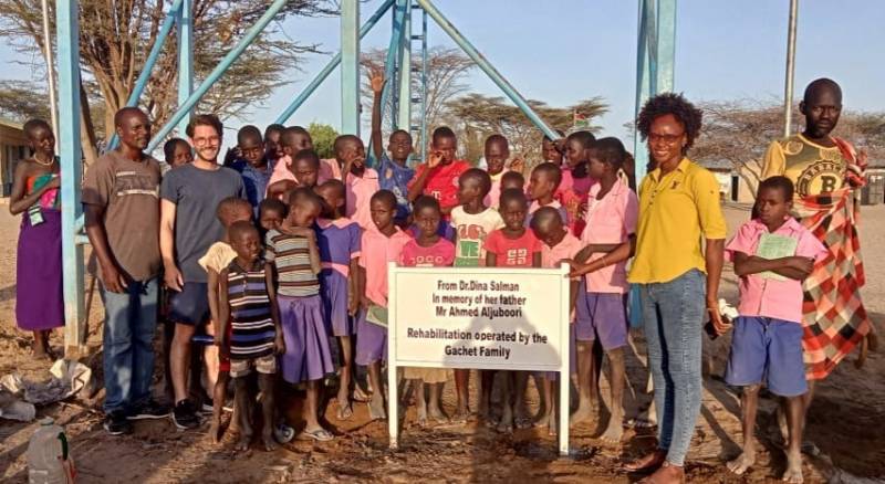
WATER REHABILITATION FOR 200 STUDENTS & 3,500 PEOPLE, KENYA (2022)
Water rehabilitation in Nakwaperit (Turkana county), Kenya, allowing thousands of people access to safe water and...
More details

Vast Water Reserves Found in Drought-Prone Northern Kenya
Another article about the Lotikipi groundwater discovery in North Kenya, Turkana County, by RTI - September 2013
More details

Prospecting Water from Space
A portrait of the career path of Dr. Alain Gachet - December 2021
More details

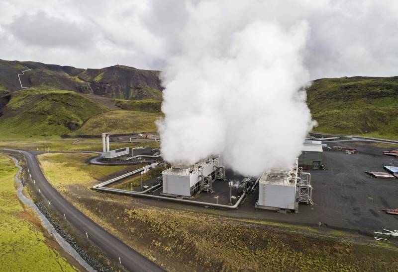
THE WATEX™ SYSTEM, A POWERFUL TECHNOLOGY FOR GEOTHERMAL EXPLORATION IN COSTA RICA
RTI is tracking and mapping areas of high hydrothermal interest using the WATEX™ Process all over the regions a...
More details
RTI EXPLORATION is a global leader in the exploration sciences. We provide clients with the expertise and technology they need to discover and develop critical resources, from minerals and metals to groundwater and energy resources. Our team of highly experienced professionals has a proven track record of success in locating and developing some of the world's most important resources. Areas of expertise:
Our technologies can be adopted independently or combined together into an integrated solution, ready for execution project development master plan:
- WATEX™ : Precise Delineation of Groundwater Reservoirs down to 3 Km
- BAMEX™ : Uncovering the Optimal Mineral Potential to be Unlocked
- HEXUB™ : Accurate Delineation of Areas of Major Hydrocarbon Interest
- OSIRIS™ : Environmental Monitoring, Soil and Forest Classifications
Our services in the sector of
Tanzania
Our area of activity for this service
Optimal drilling targets
Contact Us


