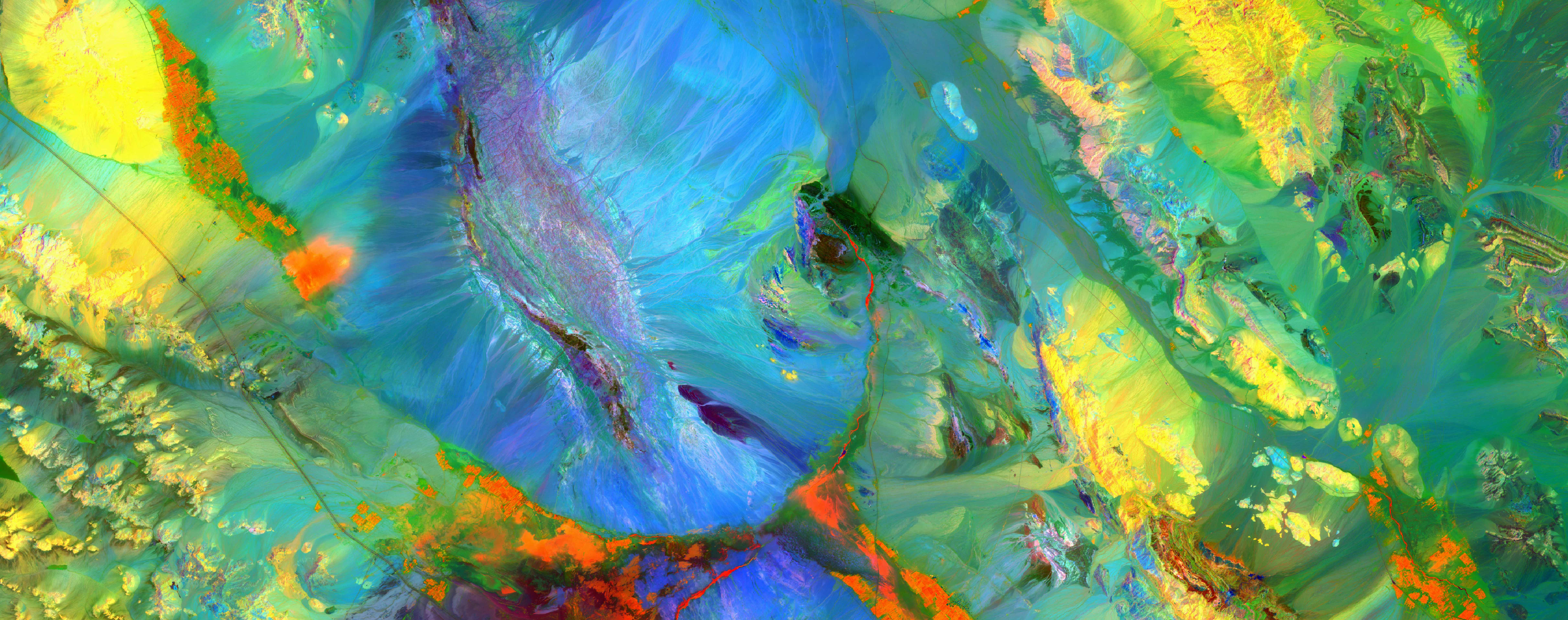
WATEX™ system: the perfect tool to launch and scale any groundwater development and groundwater management projects Iraq
WATEX™ system: the perfect tool to launch and scale any groundwater development and groundwater management projects Iraq
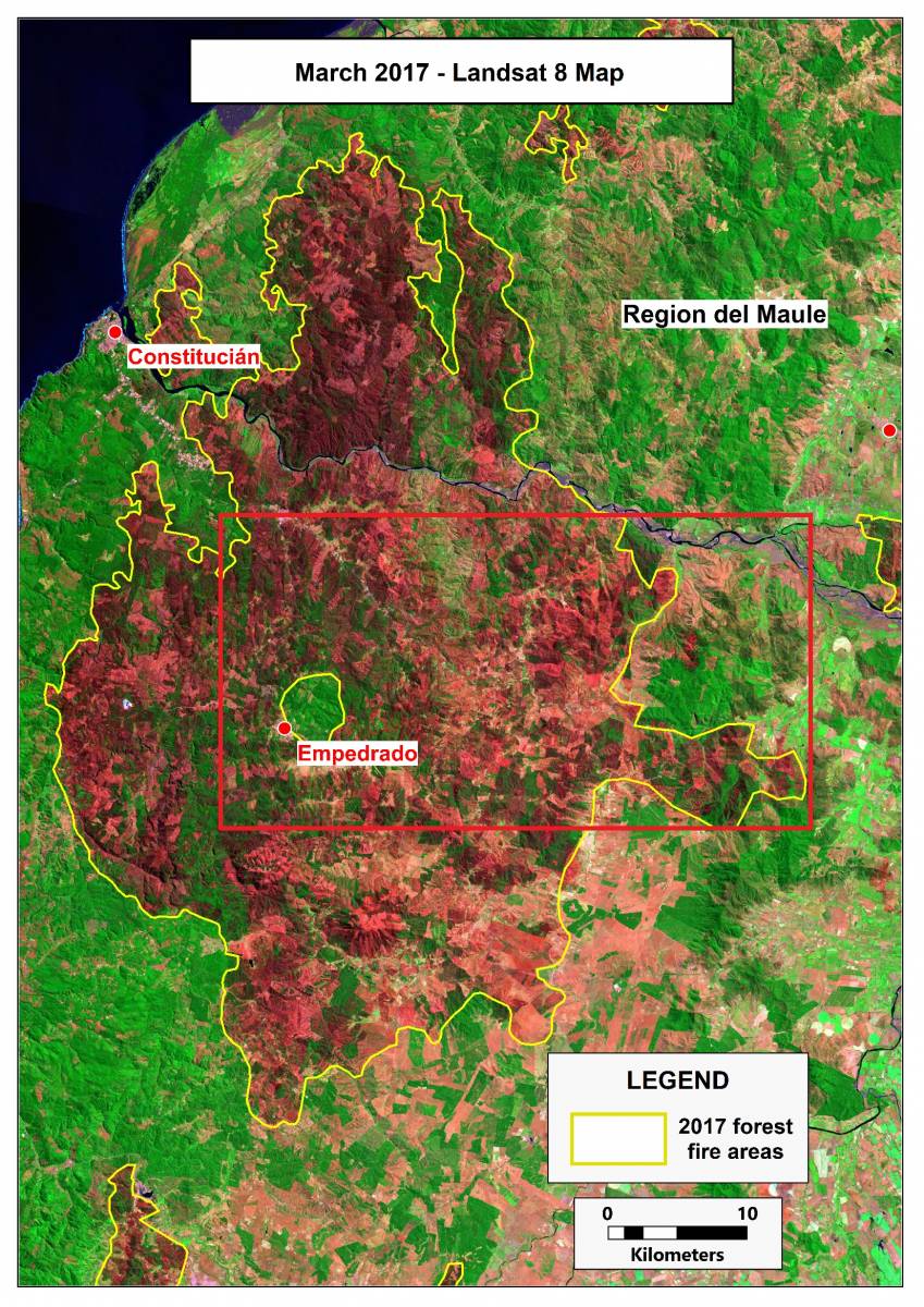
THE WATEX™ SYSTEM, A UNIQUE SOLUTION FOR ECOFORESTRY IN CHILE (2017)
The WATEX™ System: a unique solution for ecoforestry in Maule Region, Chile.
More details

Massive underground water reserve discovered in drought-stricken Kenya
The massive aquifer discovered by RTI in 2013 in Turkana County, North Kenya - September 2013
More details

RTI and WATEX™ inducted at the 2016 Space Technology Hall of Fame®
Presentation movie of the 2016 Space Technology Hall of Fame® inductees.
More details

Radar Technologies International: Water Explorations in Darfur
Use of NASA data combined with the RTI's WATEX™ System in order to map groundwater resources - Nov 2016
More details

Prospecting Water from Space
A portrait of the career path of Dr. Alain Gachet - December 2021
More details
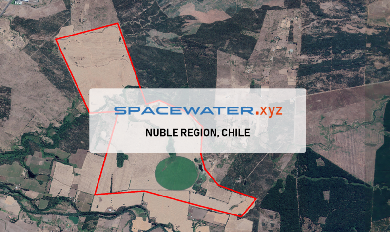
SPACEWATER.xyz™ : Application in Nuble region, CHILE (2022)
The Agricola Escorial company has requested RTI for two drilling points on their farm in Nuble region, Chile.
More details
RTI EXPLORATION is a global leader in the exploration sciences. We provide clients with the expertise and technology they need to discover and develop critical resources, from minerals and metals to groundwater and energy resources. Our team of highly experienced professionals has a proven track record of success in locating and developing some of the world's most important resources. Areas of expertise:
Our technologies can be adopted independently or combined together into an integrated solution, ready for execution project development master plan:
- WATEX™ : Precise Delineation of Groundwater Reservoirs down to 3 Km
- BAMEX™ : Uncovering the Optimal Mineral Potential to be Unlocked
- HEXUB™ : Accurate Delineation of Areas of Major Hydrocarbon Interest
- OSIRIS™ : Environmental Monitoring, Soil and Forest Classifications
Our services in the sector of
Iraq
Contact Us
