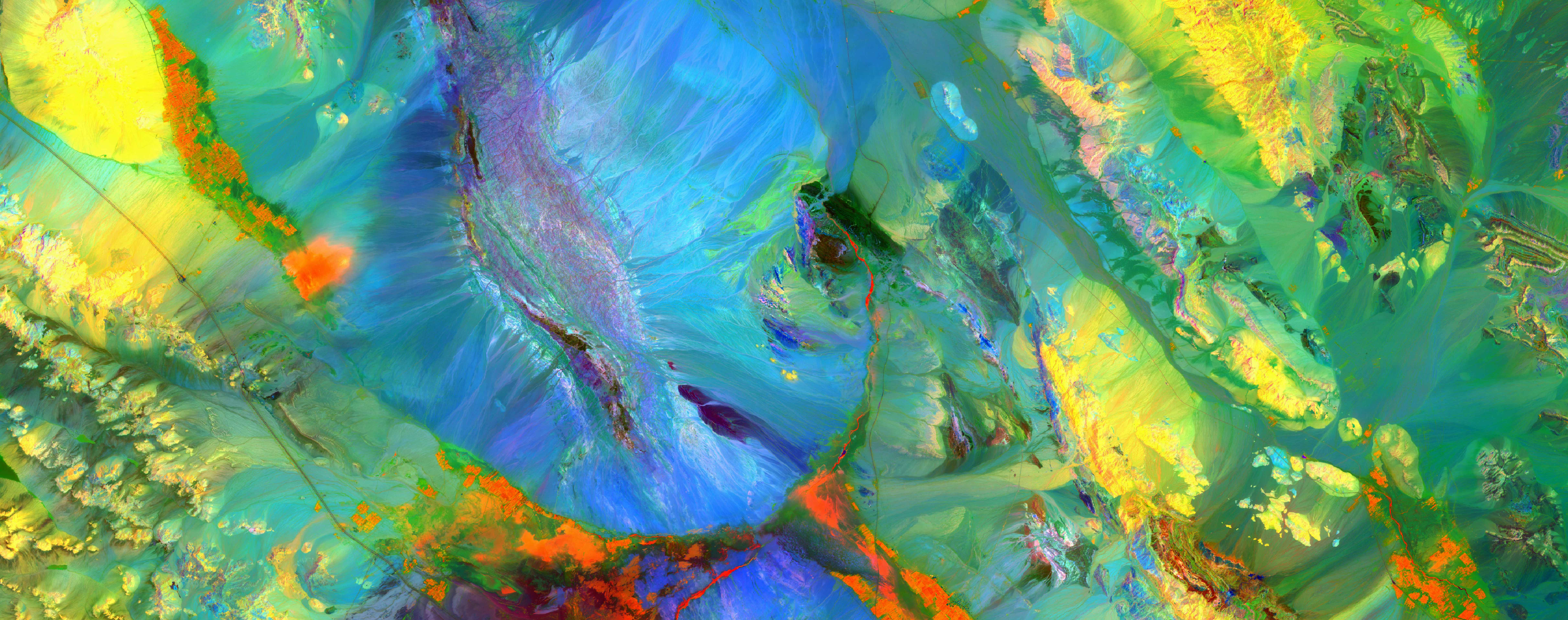
Mapping shallow aquifers Tanzania
Mapping shallow aquifers Tanzania
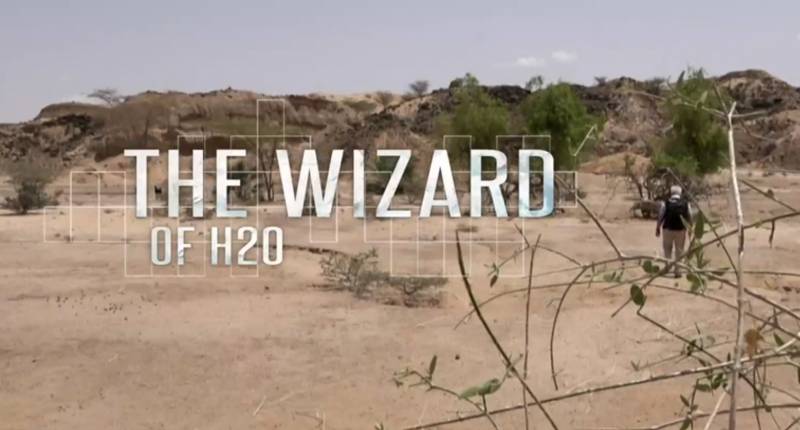
The Wizard of H2O
A film by Sylvie Boulloud and Nathalie Plicot following Dr. Gachet's groundwater exploration in Kenya and Iraq - 2017
More details

Alain Gachet, sourcier des temps modernes
A French article portraying Dr. Alain Gachet - December 2008
More details
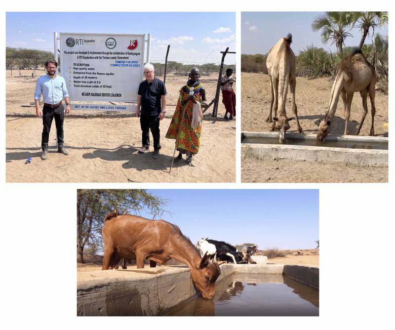
CLUSTER OF PROSPERITY FOR 3,000 PEOPLE & CATTLE IN KADINYANGOLE - KENYA (2022)
Development of the first cluster of prosperity in Turkana county - Kenya, making possible food and water security for...
More details

Water and Peace : A journey through the world's most explosive conflict zones in search of deep water
The latest book written by Dr. Alain Gachet. July 17, 2023
More details
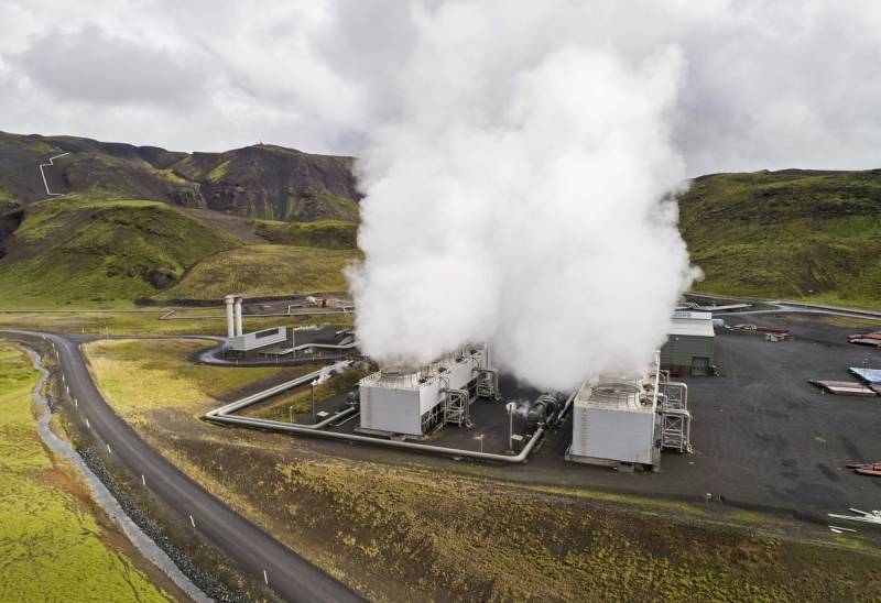
THE WATEX™ SYSTEM, A POWERFUL TECHNOLOGY FOR GEOTHERMAL EXPLORATION IN COSTA RICA
RTI is tracking and mapping areas of high hydrothermal interest using the WATEX™ Process all over the regions a...
More details
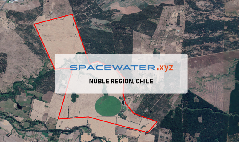
SPACEWATER.xyz™ : Application in Nuble region, CHILE (2022)
The Agricola Escorial company has requested RTI for two drilling points on their farm in Nuble region, Chile.
More details
RTI EXPLORATION is a global leader in the exploration sciences. We provide clients with the expertise and technology they need to discover and develop critical resources, from minerals and metals to groundwater and energy resources. Our team of highly experienced professionals has a proven track record of success in locating and developing some of the world's most important resources. Areas of expertise:
Our technologies can be adopted independently or combined together into an integrated solution, ready for execution project development master plan:
- WATEX™ : Precise Delineation of Groundwater Reservoirs down to 3 Km
- BAMEX™ : Uncovering the Optimal Mineral Potential to be Unlocked
- HEXUB™ : Accurate Delineation of Areas of Major Hydrocarbon Interest
- OSIRIS™ : Environmental Monitoring, Soil and Forest Classifications
Our services in the sector of
Tanzania
Our area of activity for this service
Mapping shallow aquifers
Contact Us
